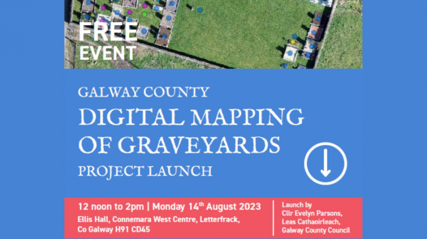
Galway County Council is to launch its Digital Mapping Project in Ellis Hall, Letterfrack tomorrow (Monday 14th).
As part of this project, Connemara West has mapped seven graveyards in Ballinakill Parish, Renvyle, Tooreena, Salrock, Letterfrack Boys Cemetery, Banogues, St Thomas and Ballinakill
The launch at noon will be hosted by the vice chairperson of the council, Cllr Evelyn Parsons
The graveyards will be visible online after the launch, through Galway County Council’s open portal on the county council website.


